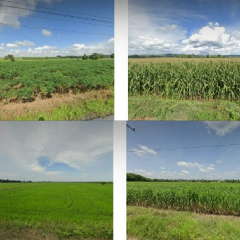

Crop maps help scientists and policymakers track global food supplies and estimate how they might shift with climate change and growing populations. It’s estimated that smallholder farms support two-thirds of the world’s rural population and produce 80 percent of the world’s food.
Keeping tabs on what is grown and where is essential to tracking and forecasting food supplies around the world. But only a handful of countries have the resources to create accurate maps.
So MIT engineers used a combination of Google Street View images, machine learning, and satellite data to automatically determine the crops grown throughout a region, without requiring in-person assessments of every single farm.
First nationwide crop map of Thailand
The researchers used this technique to generate the first nationwide crop map of Thailand's four major crops—rice, cassava, sugarcane, and maize—with an accuracy of 93 percent.
That's comparable to on-the-ground mapping efforts in high-income, big-farm countries, says Sherrie Wang, the d’Arbeloff Career Development Assistant Professor in MIT’s Department of Mechanical Engineering.
Mapping the millions of India smallholder farmers
The researchers are now moving to map crops across India, where roadside images have recently become available from Google Street View and other services . “There are over 150 million smallholder farmers in India,” says Wang.
“India is covered in agriculture, almost wall-to-wall farms, but very small farms, and historically it’s been very difficult to create maps of India because there are very sparse ground labels."
The mapping method
Wang, along with the Institute for Data, Systems, and Society (IDSS), graduate students, and Jagtech company PEAT GmbH, will present a paper detailing their mapping method later this month at the AAAI Conference on Artificial Intelligence.
“What would be interesting would be to create these maps over time,” Wang says. “Then you could start to see trends, and we can try to relate those things to anything like changes in climate and policies.”
Citation: Soler, J. L., Friedel, T., & Wang, S. (2023). Combining Deep Learning and Street View Imagery to Map Smallholder Crop Types. arXiv https://arxiv.org/abs/2309.05930 (open-access)